
Globe Hop
Fly around the world with Ariana the Arctic tern. Arctic terns make the longest journey of any animal, from the Arctic to Antarctica and back every year. Help Ariana visit all 7 continents and learn the oceans and countries on the way.
Play Globe Hop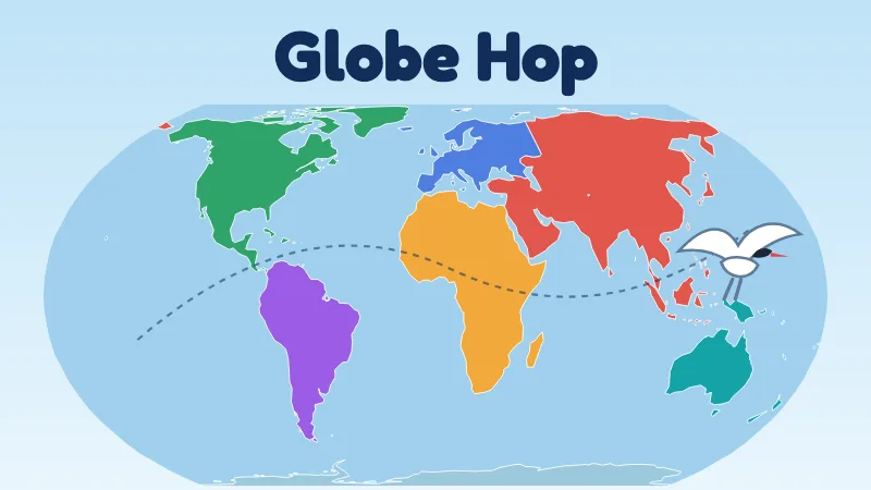
Quick facts
- Subject
- World geography: continents, oceans and countries
- Levels
- Nest (Nursery), Fledgling (Primary), Flyer (JSS), Navigator (SSS, WAEC and adults)
- Flights
- 15 short activities
- Play time
- 2–3 minutes per flight
- Help
- Read-aloud, keyboard play, a list option on every map
- Cost
- Free forever · No sign-up · No ads
How to play
- Choose your level. Nest needs no reading. Flyer and Navigator use plain, grown-up wording for teenagers and adults.
- Pick a flight from Ariana's World Tour, or tap a continent to visit it. Ariana suggests the continent you have visited least.
- Answer by tapping the map, dragging pieces, choosing an answer or typing. Every map question also has a list or buttons, and works with the keyboard.
- Read your Flight Log. It shows what you learned and what to practise, with the right answer. Missed questions come back in later flights until you get them right.
- Fill your passport. You get a stamp for each thing you answer right at the first try in two different flights. Fill a continent's page for its badge, and all seven for the Globe Hopper badge.
What each level learns
- 🥚 Nest (ages 3–5): the names and shapes of the 7 continents, and an animal from each. Tap & Hear, Animal Homes and Big Pieces. Big tap targets, spoken prompts and no failure screens.
- 🐣 Fledgling (Primary): place all 7 continents and 5 oceans, animals and landmarks from every continent, the difference between a continent and a country, 36 well-known countries, neighbours, and famous mix-ups like “Africa is a country” or “Sydney is the capital of Australia”.
- 🕊️ Flyer (JSS): compass directions, the equator, tropics and prime meridian, ranking continents by area and population, why the Mercator map makes Greenland look as big as Africa, the countries of every region, capitals and overland routes.
- 🧭 Navigator (SSS, WAEC and adults): all 193 UN member states and their capitals, naming every country in a continent, rebuilding Pangaea with the evidence for continental drift, and exam-style questions on mountains, rivers, deserts and oceans.
A truly global game
Every continent gets the same number of animals, landmarks, facts and questions at every level, and mixed flights always draw from at least five continents. The map uses the Equal Earth projection, so every continent is shown at its true size. Players can add an optional “You are here” pin for their own country; it is saved on the device only.
Quizzes use the 193 UN member states. Disputed places and territories are shown in grey and are never asked about. Countries that lie in two continents, such as Russia, Türkiye and Egypt, accept either answer.
For teachers and parents
Globe Hop supports the world, continents and map-reading topics in Primary and JSS Social Studies, and physical geography and continental drift in SSS Geography and WAEC. A flight takes 2–3 minutes, so it works as a lesson starter. On a projector, use “Explore the countries” to show any country's card, or let the class vote on each answer.
Globe Hop supports UN Sustainable Development Goal 4 (Quality Education). Map data comes from Natural Earth (public domain).